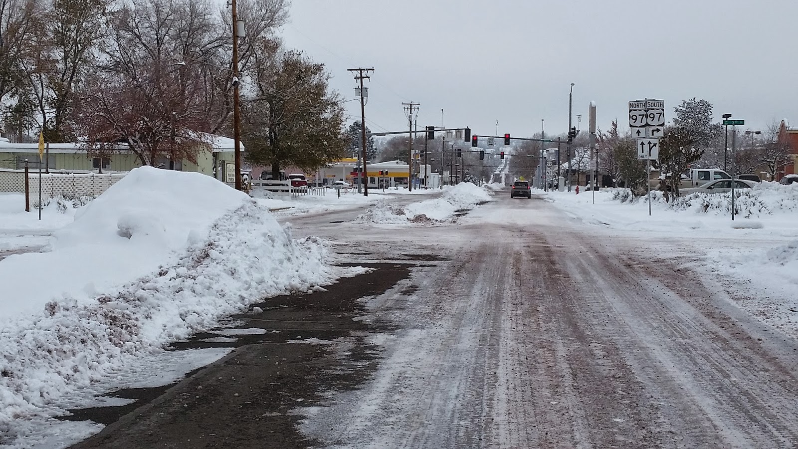
Yesterday was a shorter drive, just 164 miles from Madras to Salem via U.S. Highway 26 over Government Camp, though nearly half those miles were on snowy and/or icy roads. Due to the weather (and the fact that the ski areas have not yet opened), there was less traffic than I've ever seen on that route, so the drive was pleasant, and the snow on the trees was enchanting.
For those interested, here is a quick summary of some statistics from my journey around the continent:
11,465 -- Total miles driven
31 -- U.S. states visited (19 of them new, bringing my total to 48. I still need to see Alaska and Hawaii.)
4 -- Canadian provinces visited (All new, bringing my total to six. I have yet to see the Atlantic Provinces.)
22,000 -- Total number of photos taken (that I kept -- I deleted many more!).
2 -- Number of oil changes on the road (one in Duluth, MN and one in Myrtle Beach, SC).
44 -- Approximate number of different accommodations I stayed in (including hotels, motels, cottages, houses, etc.). Quality and price varied significantly! That's a lot of packing and unpacking.
11 -- Number of national parks, monuments, and historic sites visited. With admission fees averaging close to $20, my $80 annual pass paid for itself!
5 -- Number of places visited that would freak out someone with claustrophobia (including one iron mine, one coal mine, and three caverns).
6,684 -- Highest elevation of the trip (the summit of Mt. Mitchell, NC near the Blue Ridge Parkway, a mere 38 feet higher than Logan Pass on Going-to-the-Sun Highway in Glacier National Park, MT).
-190 -- Lowest elevation of the trip (at Furnace Creek in Death Valley, CA).
The most significant statistic may be zero, representing the number of accidents, car problems, speeding tickets, hospital visits, or otherwise unfortunate events I encountered. I was afflicted with a bad cold/sinus infection for the last month of the trip, but not badly enough to significantly affect my activities.
For the benefit of my Geography students at Chemeketa Community College (especially in Geography of the U.S. and Canada):
13 -- Number of regions of North America I visited (all of them, not counting Hawaii and Alaska).
8 -- Number of climate regions I passed through.
8 -- Number of major landform regions I visited.
21 -- Total latitude range of the trip (from 29 degrees north to 50 degrees north).
55 -- Total longitude range of the trip (from 68 degrees west near Bar Harbor, ME to 123 degrees west in Salem, OR)
Now that this journey (and blog) have come to an end, I'll have time to reflect on lessons learned. Here are a few of them:
1) High speed internet rarely means high speed. Every place I stayed advertised it, but few delivered.
2) Mi-Fi is expensive, but worth it if you need it (see lesson #1).
3) This continent is huge. It's one thing to know it intellectually, but to drive the perimeter and experience it firsthand really drove home (pardon the pun) the point. America is vast, with both wide open spaces (especially in the Great Plains and Intermountain West) and densely populated areas (east of the Mississippi River especially). The contiguous 48 states are about 1.5 times the area of all of Europe, and the average U.S. state is larger than the average European country.
4) Despite our size, cultural differences are relatively minor. (Contrast that with the number of languages and cultures in Europe!) I noticed fewer distinctions in language, foods, signage, and so on than in my past travels just 25 years ago. Television and the internet have homogenized our culture. Not all local flavor is lost, but much of it seemed manufactured for the benefit of tourists. I also noted much more pronounced accents among older people than younger. Having said that, there are unique aspects to each area of the country, giving each a special sense of place, with its own mix of cultural and physical geography.
To sum up, I'm glad I had the opportunity to embark on this "voyage of discovery." This journey crosses off a lot of items on my life list! I'm thankful to have finally taken this trip, and even more thankful I won't have to do it again! I'm flying everywhere that is farther than about 500 miles from home now.
This marks the end of the driving/blogging portion of my sabbatical, but just the beginning of my work. The primary purpose of the trip was to collect data (photos and videos) to use in creating virtual field trips for my geography students, so now I get to take all of that data and begin editing it to share in my online and on campus classes. This blog is just a small start.
I hope you've enjoyed reading about and viewing photos of my travels and have been inspired to start your own quest to discover more about the geography of the world around you. There is much to explore!

 |
| Leaving Madras. It was zero degrees overnight. |


 |
| On Highway 26 dropping down to Warm Springs. |


 |
| Columnar basalt at the top of the escarpment is highlighted by snow. |
 |
| Steam fog rising from the Deschutes River. |

 |
| Ice fog just north of Warm Springs. |
 |
| Mt. Hood. |


 |
| Getting closer! |
 |
| Back in Salem, 75 days after leaving. |


.jpg)


