I'm a placist. I practice placism. There, I've said it. I freely admit that I love Oregon, and favor it above all other places. It possesses a diversity of landscapes almost unequaled anywhere else: rocky, majestic coastlines, towering volcanic mountains, lush mid-latitude rainforest, desert badlands -- and all of them within just a few hours of each other. Having said that, there is no scenic drive in Oregon even remotely similar to the Blue Ridge Parkway. It is 469 miles of pure driving bliss. Actually, I've only driven about 444 miles of it so far, since at dusk Saturday I veered southward to arrive at my lodging in Franklin, NC. I plan to catch the 25 miles I missed later this week when I'm back in the area.
When I left Boone, NC in the morning it was overcast, with a light mist. Gas prices are higher here ($3.19), but I needed to top off the tank. Happiness is a full tank of gas and heading south on the Blue Ridge Parkway! The farther south I go, the more vivid the colors become. There are several reasons for this: higher elevations, wetter conditions recently in this area, and each passing day reveals more of the fall foliage's autumn glory, so it should be peaking in late October. In the evening I crossed the highest point on the entire Blue Ridge Parkway. Richland Balsam Overlook is 6,053 feet, and it provides breathtaking views of the Great Smoky Mountains to the west. This southern section of the Parkway is by far my favorite.
202 miles today (about 154 of them on the Parkway). 6,068 total miles now. My journey is now more than half over.
 |
| Linn Cove Viaduct. This 1/4 mile section on the side of Grandfather Mountain was the last part of the Parkway to be completed (in 1987). |
 |
| Observation platform on Mt. Mitchell. As you can see, it was fogged in. |
 |
| What you can see on a clear day. |
 |
| What I saw today. |
 |
| The clouds parted for about sixty seconds, so I shot a few photos. Not much of a view, but at least you can see part of the lower mountain and the road up. |
 |
| The view from about 500 feet below the summit was much better. The mountains here are quite rugged. |
 |
| Glassmine Falls has a total drop of about 800 feet. It looks small from a distance, and only part of the drop can be seen. |
 |
| View from Craggy Gardens Visitor Center. |
 |
| Mt. Pisgah. Note the rhododendrons along the parkway. They are ubiquitous. |
 |
| Notice the absence of clearcuts and development in most of these photos. |
 |
| The Parkway blends in very well with the landscape and is barely visible even here. |
 |
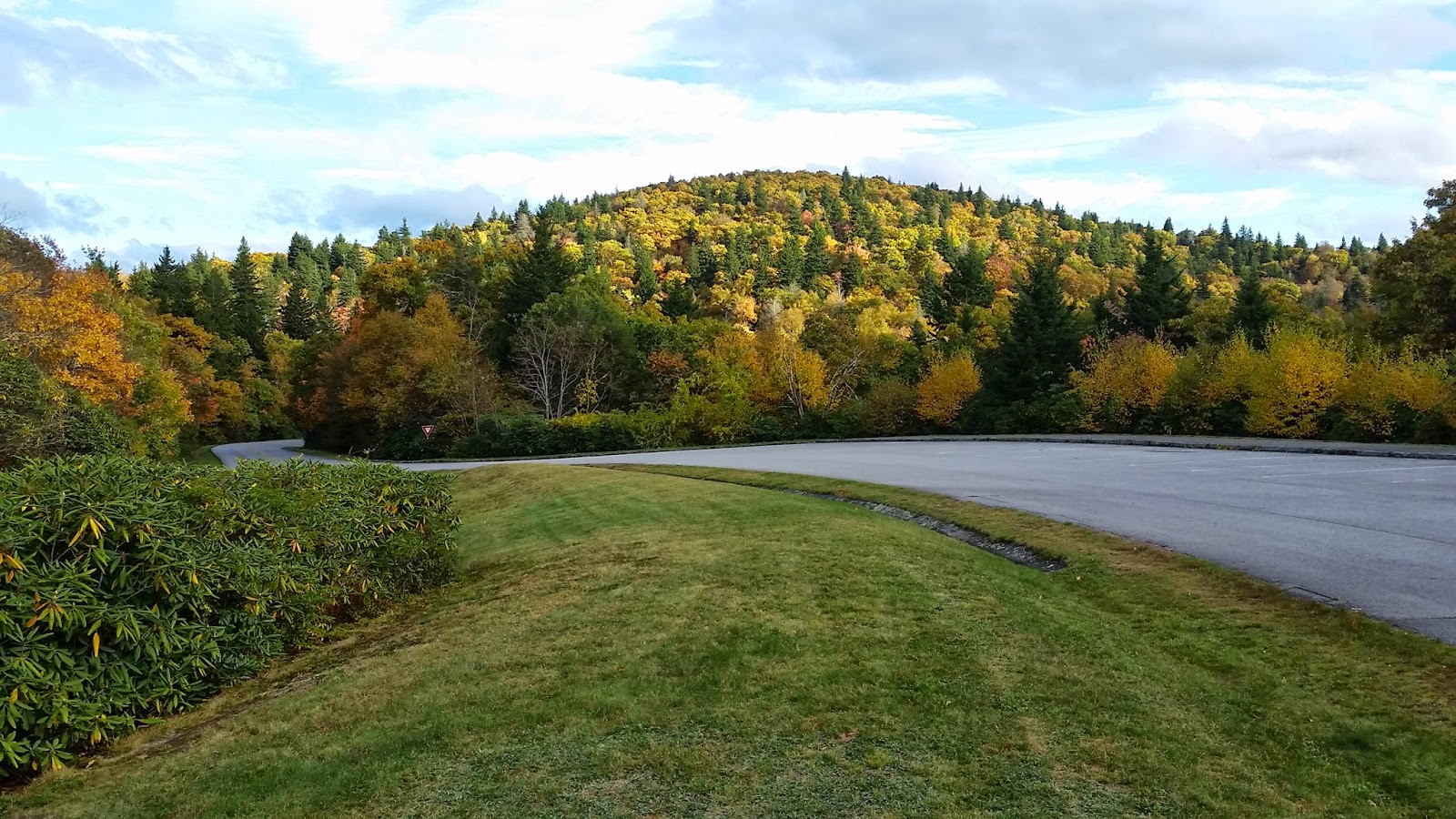
| What can I say? This was one of my favorite views. |
 |
| Pounding Mill Overlook. |
 |
| Looking Glass Rock, a granite monolith whose surface reflects the late afternoon sunlight. |
 |
| Looking west to the Great Smoky Mountains, which are on the North Carolina-Tennessee border. |


Absolutely beautiful colors!
ReplyDeleteYou sure timed your trip through the Parkway perfectly for the colors. Wow!
ReplyDeleteBeautiful Steve. But I am with you, I am an Oregonian tried and true!
ReplyDelete